Документы
В этом разделе представлены общедоступные документы и файлы, загруженные заинтересованными сторонами и хранителями окружающей среды Каспийского моря.
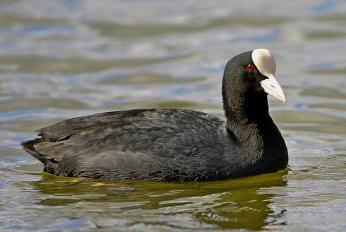
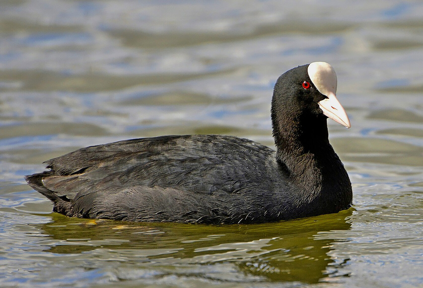
 Животный мир Туркменистана и его охранаср, 03/15/2023 - 07:32Монография представляет собой эколого-фаунистическую сводку научно-популярного характера о животном мире Туркменистана и вопросам его охраны. Книга содержит обобщающие и детальные сведения по истории изучения позвоночных животных, особенностям среды их обитания, составу, эколого-фаунистическим и зоогеографическим характерис
- Описание
Монография представляет собой эколого-фаунистическую сводку научно-популярного характера о животном мире Туркменистана и вопросам его охраны. Книга содержит обобщающие и детальные сведения по истории изучения позвоночных животных, особенностям среды их обитания, составу, эколого-фаунистическим и зоогеографическим характеристикам, о роли позвоночных животных в экосистемах и жизни человека, биологическом разнообразии, его охране в целом и в частностях, включая систему особо охраняемых природных территорий Туркменистана.
- Attached documents
- Metadata
- Год
- 2011
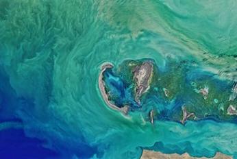
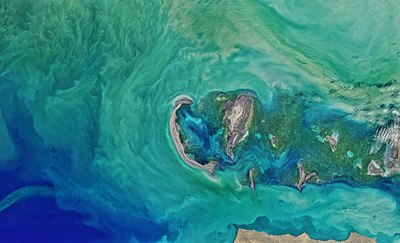
 Article - Effects of Caspian Sea water level fluctuations on existing drainsпн, 04/23/2018 - 19:18This study is an attempt to develop an integrated methodology to predict the impact of the Caspian Sea on flooding using Geographic Information Systems (GIS) and hydrodynamic modeling. A rise in the sea level might lead to major flooding events, and have a severe impact on the spatial development of cities and regions. The f
- Описание
This study is an attempt to develop an integrated methodology to predict the impact of the Caspian Sea on flooding using Geographic Information Systems (GIS) and hydrodynamic modeling. A rise in the sea level might lead to major flooding events, and have a severe impact on the spatial development of cities and regions. The feasibility of simulating a flood event along a drain channel is evaluated near residential development areas along the Chapakroud drain.
The study shows that at these elevations environmental and social problems arise with regards to the drain. The results also indicate that GIS is an effective tool for floodplain visualization and analysis. It should be noted that the mixture of salt and soft water, as a result of rising sea water level, is a problem that was not investigated in this study and should be examined in the future.
- Attached documents
- Metadata
- Год
- 2011
Документ

Животный мир Туркменистана и его охрана
Документ

